|
Help About Related Share Your Story General Mall
Food Court Retail Entertainment Management Souvenirs Related Links
|
OldMemphis
Old MemphisThe Memphis of yesterday, like the mall of yesterday is a memory now, and pictures help us remember. These pictures are from varous publications: The Commercial Appeal, The Memphis Flyer and others. 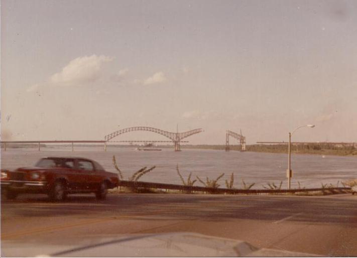 "1 Aug 72 - Another steel girder is put into place as the Interstate 40 Bridge, moves slowly towards Memphis in background. Photo ran on Sunday, 6 Aug 72 as part of picture page showing work being done on the bridge. Photo by Richard Gardner, Staff Photographer, The Commercial Appeal. courtesy Special Collections/University of Memphis Libraries." IPB Image 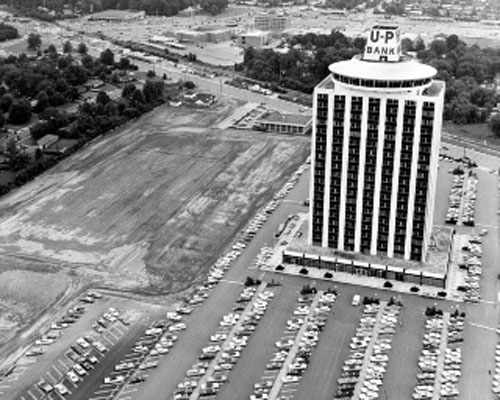 oldmem2 "Site clearing east of White Station Tower at 5050 Poplar Avenue signals the start of construction of Clark Tower at 5100 Poplar Avenue in this June 1970 aerial photograph. Poplar Avenue runs diagonally to top left corner in the view looking toward the south and Eastgate Shopping Center at top center. Staff Photo by Barney Sellers. Photo Courtesy Special Collections/University of Memphis Libraries." 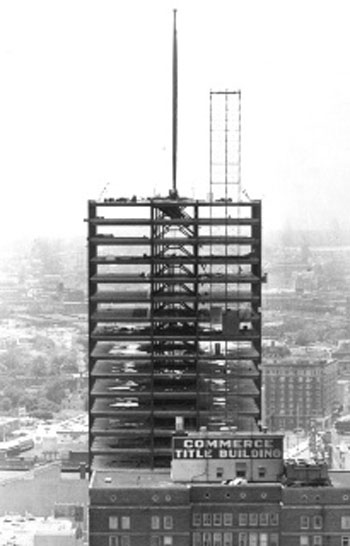 "12 Jul 71 - Commerce Square rises out of the downtown skyline at the corner of Main Street and Monroe Avenue. Staff Photo by Fred J. Griffith. From the files of The Commercial Appeal." 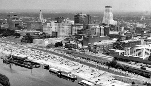 "The Memphis skyline lacked many of its landmark buildings in this aerial photograph from 23 Feb 62. Commerce Square, City Hall, Morgan Keegan Tower, 100 North Main, First Tennessee Bank and One Memphis Place, among others, were not yet parts of the downtown profile. Staff Photo. Photo Courtesy Special Collections/University of Memphis Libraries." 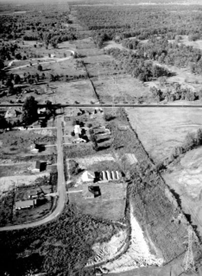 "A route roughly following a TVA power line right-of-way (beginning at lower right corner of photo) between Memorial Park Cemetery (upper left center) and Ridgeway Country Club golf course (upper right center) was the choice of city and county officials for the proposed expressway east of Memphis on 6 Oct 1956. Additional right-of-way width would have to be obtained from the cemetery, golf course or both, however, to provide space for the super-roadway and relocation of the power lines. A cloverleaf intersection probably would be built immediately south of Poplar (road running across center of photo) to proved access to and from the east-west route. Road running toward bottom of photo from Poplar and curving to lower left corner is West Rex Road. Bob Williams / The Commercial Appeal files." 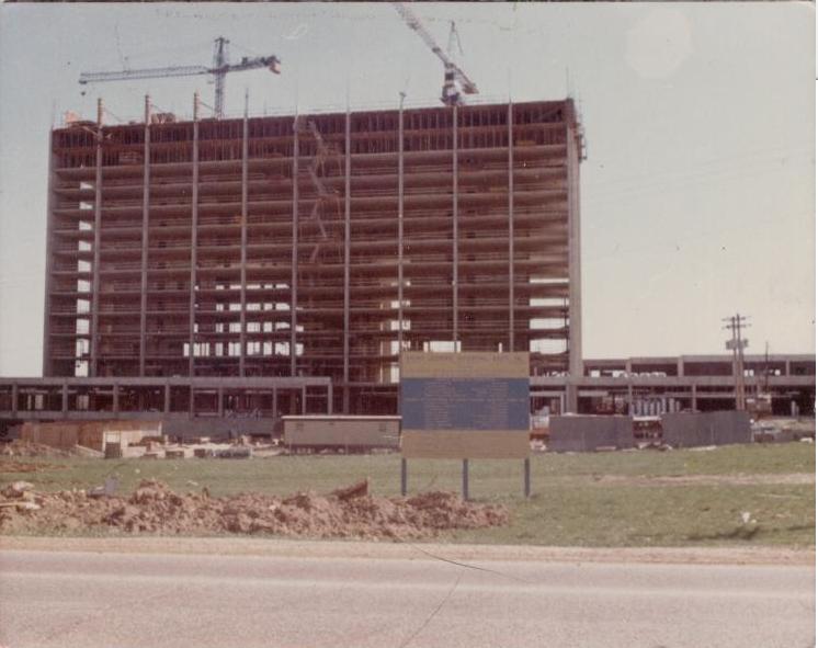 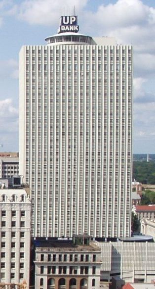 |